Log in
All resources
Create a design
242 Free Artworks of 1730 Maps
cartography
fondo antiguo
cartografía
libros del siglo xviii
cartografía, mapas | cartography, maps
chalcography
calcografía
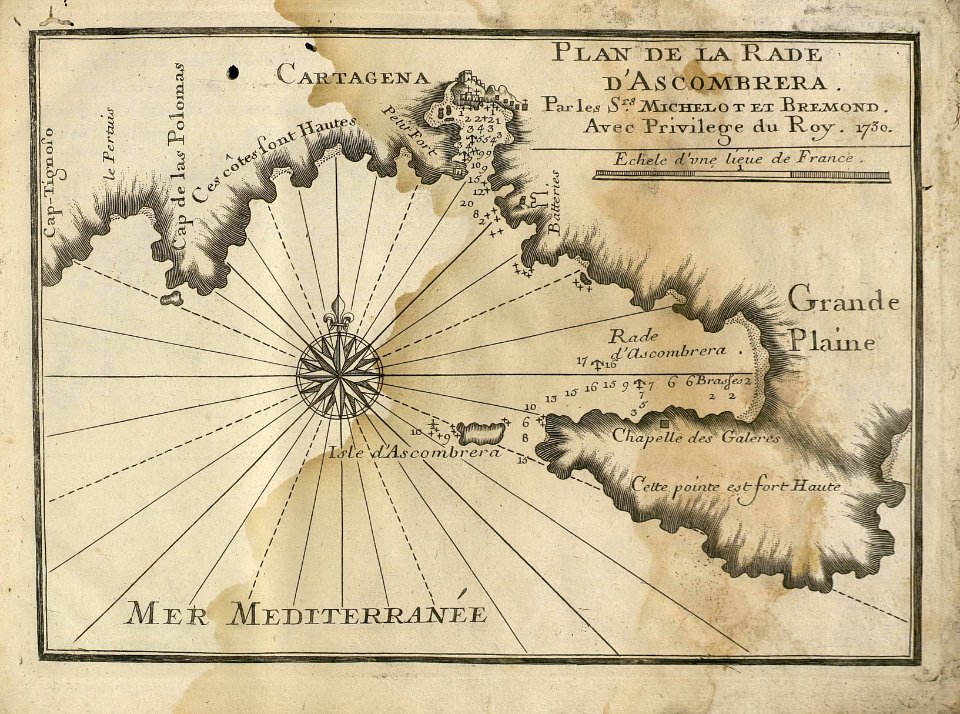
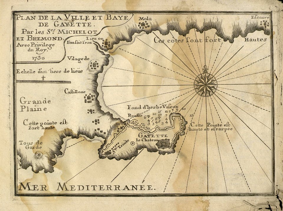
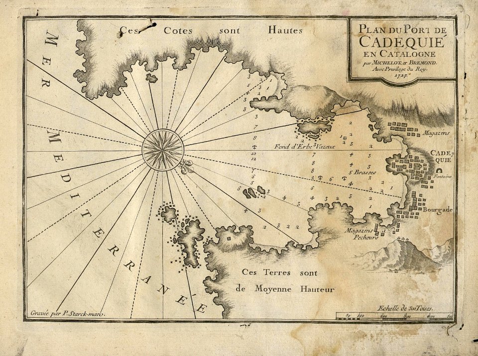
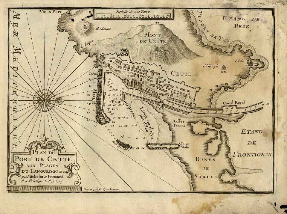
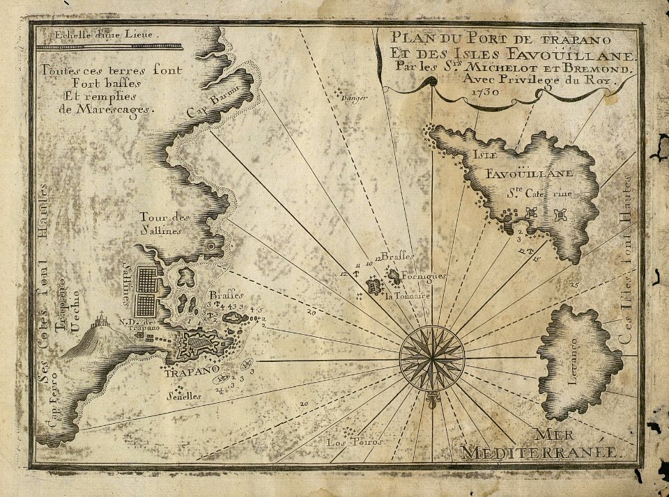
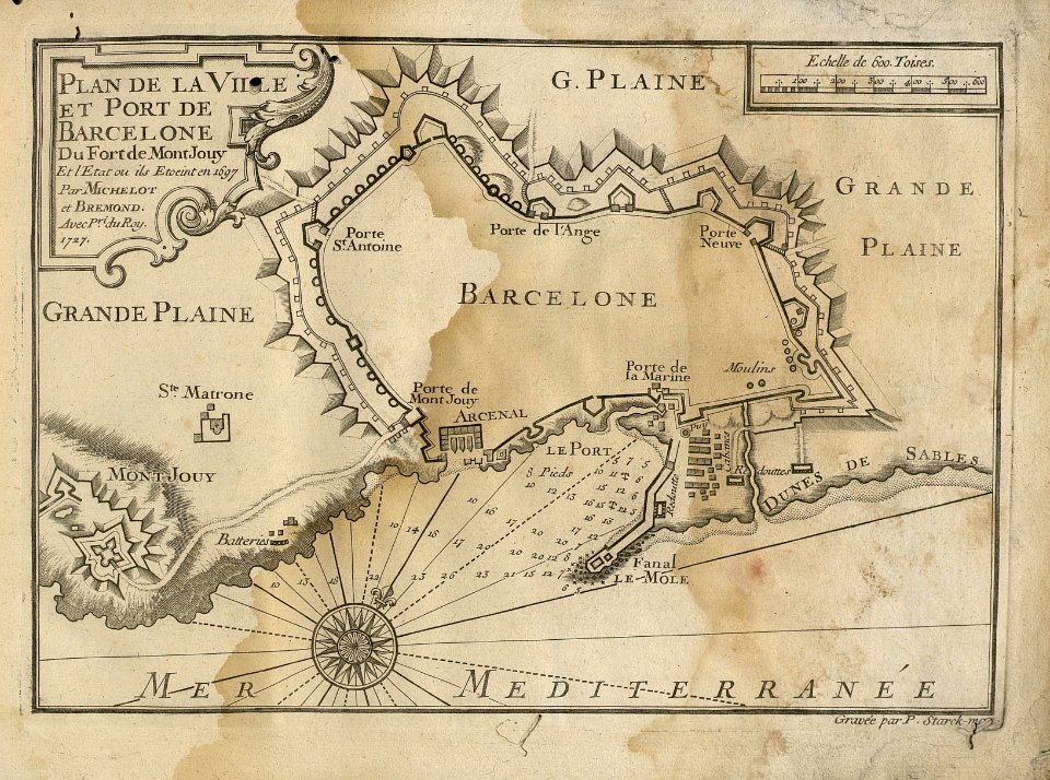
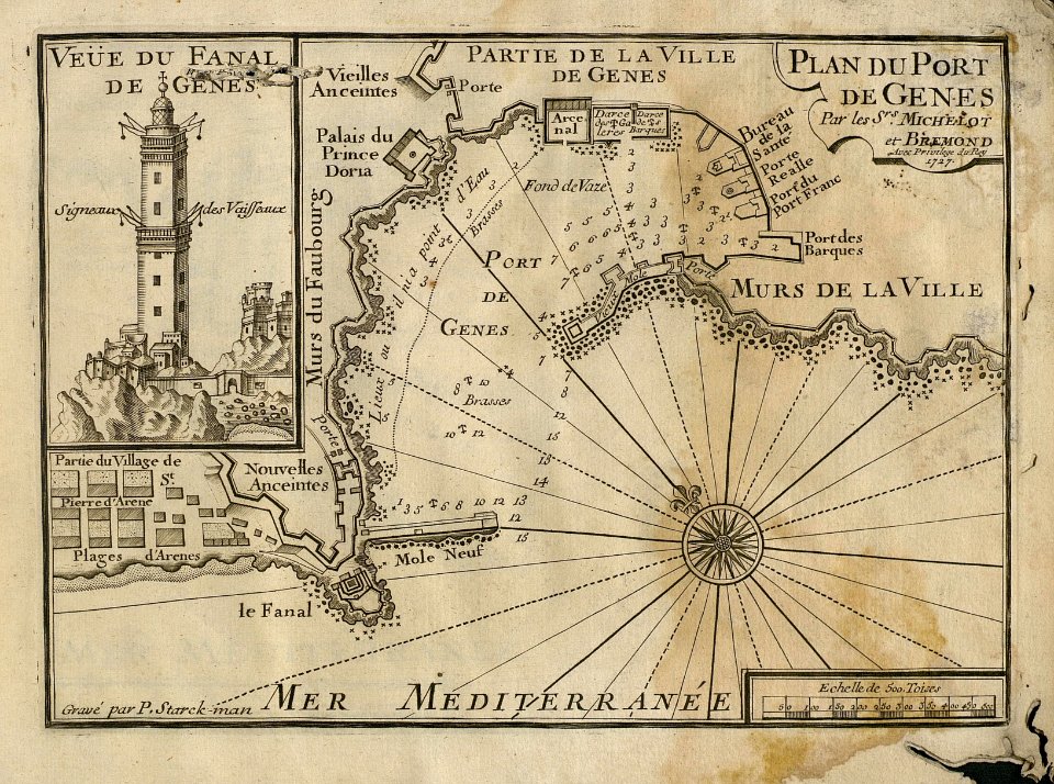
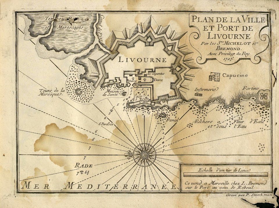
sea
harbor
mediterranean
a map of the british empire in america with the french and spanish settlements adjacent thereto
maps in the library of congress
war of jenkins' ear
edward vernon
beschryving van 'sgraven-hage
old maps of the hague
the turkish empire in europe, asia and africa (1752)
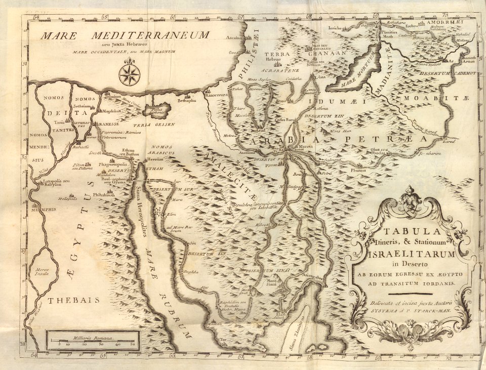
jerusalem in the 18th century
a map of the british empire in america with the french and spanish settlements adjacent thereto
1730s maps of the caribbean
lawrence h. slaughter collection of english maps, charts, globes, books and atlases
nypl lionel pincus and princess firyal map division
cornelis huyberts
guillaume sanson
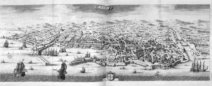
old maps of the republic of genoa
maps of the duchy of milan
18th-century portrait paintings in tate britain
male portrait paintings by francis cotes
danubius pannonico-mysicus
luigi ferdinando marsigli
old maps of amsterdam
hendrik de leth
maps in the stadsarchief amsterdam
hendrik de leth
the turkish empire in europe, asia and africa (1752)
cartouches by herman moll
johann friedrich probst (kupferstecher)
eran laor cartographic collection
danubius pannonico-mysicus
drobeta
eran laor cartographic collection
guillaume sanson
kastell budapest-albertfalva
danubius pannonico-mysicus
atlas des anciens plans de paris by imprimerie nationale, 1880 from bhvp
plan de roussel
cartography
maps
maps from university of amsterdam special collections
atlas der neederlanden
18th-century double hemisphere world maps
1730s maps of the world
18th-century double hemisphere world maps
1730s maps of the world
cartography
maps
eran laor cartographic collection
gottfried hensel
cartography
maps
cartography
maps
cartography
maps
a map of the british empire in america with the french and spanish settlements adjacent thereto
1730s maps of the caribbean
thomas milton
1739 maps
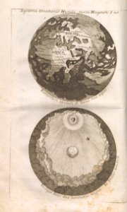
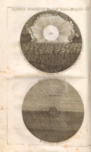
geocentric model
1730 maps
eran laor cartographic collection
gottfried hensel
eran laor cartographic collection
gottfried hensel
cartography
maps
cartography
maps
maps in the rijksmuseum amsterdam
old maps of india
map of amsterdam by julius milheuser after daniël stalpaert, 1662
julius milheuser
eran laor cartographic collection
gottfried hensel
cartography
maps
eran laor cartographic collection
claes jansz. visscher (ii)
windmills in amsterdam
singelgracht
a map of the british empire in america with the french and spanish settlements adjacent thereto
maps in the library of congress
cartography
maps
a map of the british empire in america with the french and spanish settlements adjacent thereto
maps in the library of congress
lawrence h. slaughter collection of english maps, charts, globes, books and atlases
covens en mortier
atlas des anciens plans de paris by imprimerie nationale, 1880 from bhvp
plan de roussel - partial files
map of the strait of kerch by guillaume sanson
bibliothèque nationale de france
atlas des anciens plans de paris by imprimerie nationale, 1880 from bhvp
plan de roussel - partial files
a map of the british empire in america with the french and spanish settlements adjacent thereto
1730s maps of the caribbean
1730s maps of the philippines
baroque painting
a map of the british empire in america with the french and spanish settlements adjacent thereto
1730s maps of the caribbean
a map of the british empire in america with the french and spanish settlements adjacent thereto
1730s maps of central america
media from regionaal archief alkmaar
geestmerambacht
danubius pannonico-mysicus
old maps of regions of france
pierre françois tardieu
prints by jan luyken in the rijksmuseum amsterdam
siege of groningen (1594)
media from regionaal archief alkmaar
west friesland
eran laor cartographic collection
claes jansz. visscher (ii)
carta hydrographica y chorographica de las yslas filipinas... - por... el pe pedro murillo velarde - btv1b53066953z
baroque painting
jean-fréderic phélypeaux
guillaume dheulland
bibliothèque nationale de france
hendrik de leth
mainz in the 1730s
old maps of mainz
pacific ocean in art
ships on maps
maps of the south atlantic
guillaume dheulland
maps
sea
maps
sea
lawrence h. slaughter collection of english maps, charts, globes, books and atlases
covens en mortier
maps
sea
maps
sea
maps
sea
maps
sea
maps
sea
maps
sea
italian drawings in the rijksmuseum amsterdam
neoclassicism
maps
sea
maps
sea
maps
sea
maps
sea
maps
sea
maps
sea
maps
sea
maps
sea
maps
sea
maps
sea
eran laor cartographic collection
claes jansz. visscher (ii)
maps
sea
maps
sea
maps
sea
maps
sea
maps
sea
maps
sea
maps
sea
maps
sea
maps
sea
maps
sea
maps
sea
maps
sea
maps
sea
maps
sea
maps
sea
maps
sea
101 - 200 of 242
Next page
/ 3